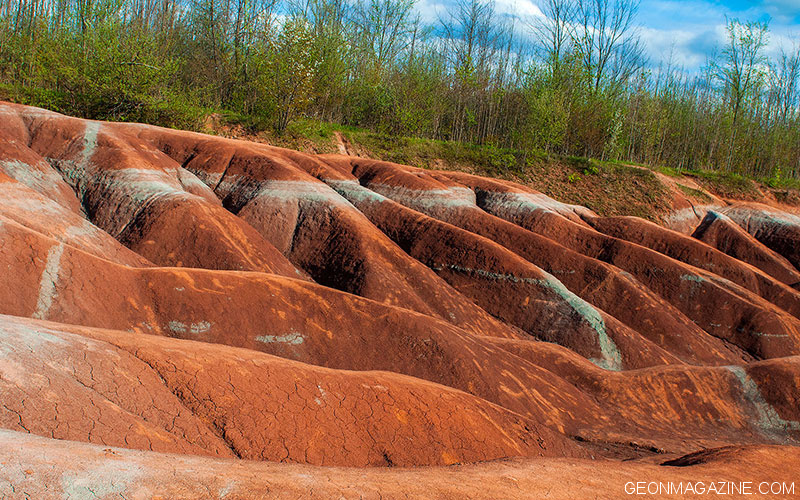
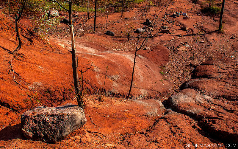
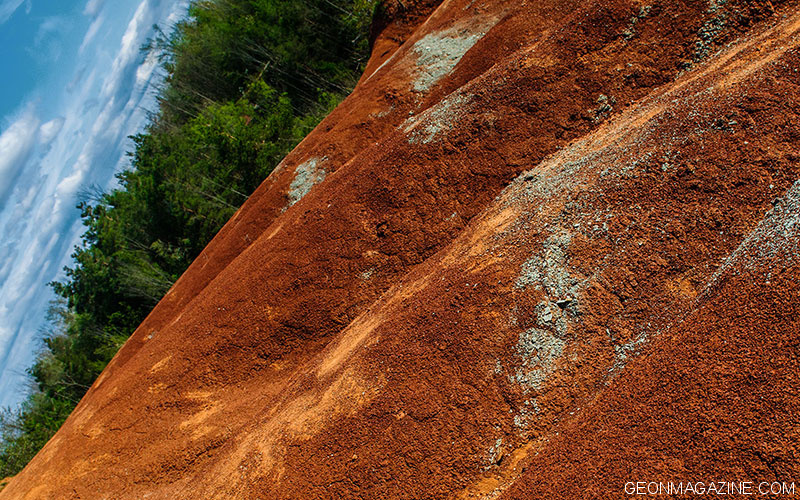
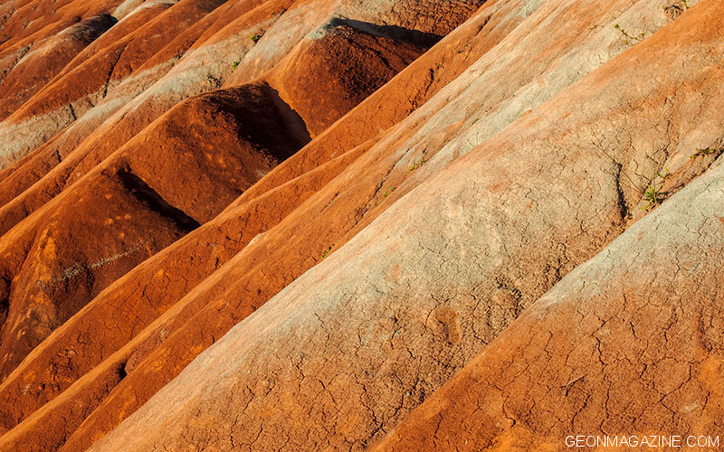
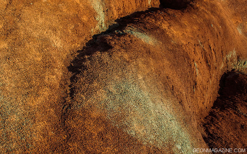
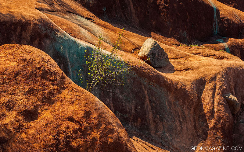
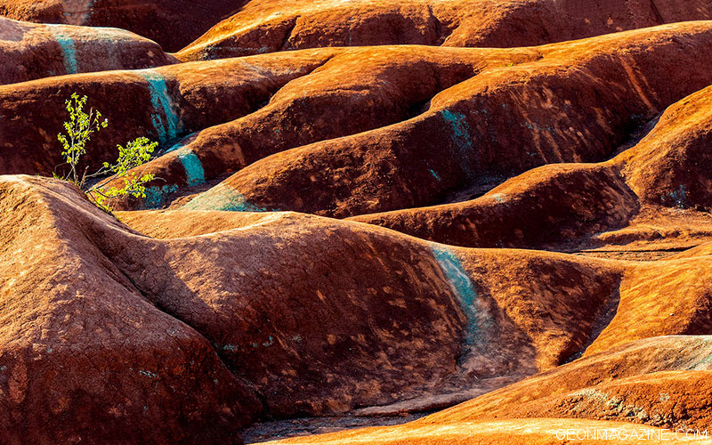
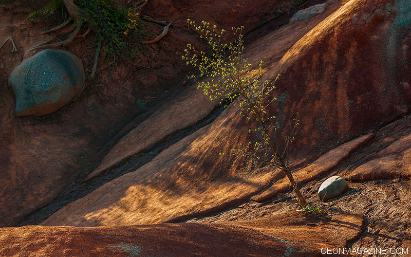
This impressive landscape in Caledon was first formed at the base of an ancient sea over 400 million years ago and was exposed in the early 1900s. The site is a provincially significant Area of Natural and Scientific Interest and one of the most recognizable and visited natural heritage landmarks in southern Ontario.
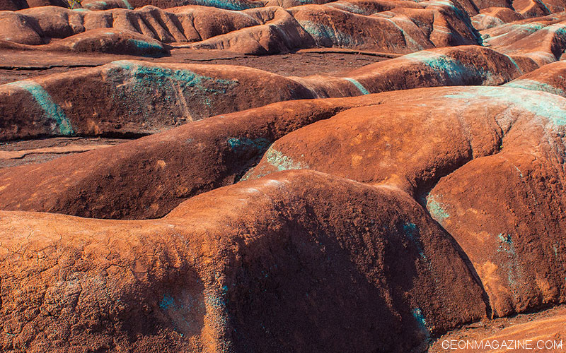
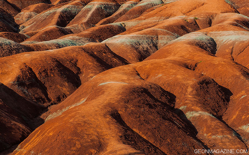
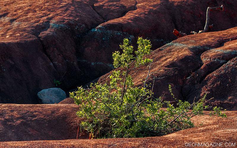
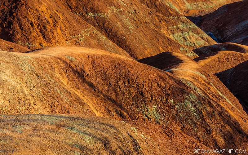
The formation is mostly red in colour due to iron oxide deposits with some faint green streaks due to ground water percolation changing the red iron oxide into green iron oxide.
The Cheltenham Badlands is owned by the Ontario Heritage Trust. Caledon’s Cheltenham Badlands are now open, by reservation only.
Badlands are regions dissected into steep hills and deep gullies by the action of wind, rain, and flash floods.
The name was originally applied to a semiarid area in South Dakota east of the Black Hills, called les mauvaises terres à traverser by the French because it was so difficult to cross; the term is now generally applied to similar lands throughout the continent.
The friable topography of the Badlands, composed primarily of shales, clays, and sandstones, has been sculpted into a maze of barren ravines and tunnels, and grassy-topped tables.
The Lakota Sioux name for the Dakota Badlands is Mako Sica, meaning “eroded land,” a region they were wary of. During the Ghost Dance conflicts of the late 1800s, diehard Lakota warriors assembled on remote tables in the depths of the Badlands, out of sight of white authorities who feared the dancing would foment an outbreak
of violence.
BOOK: Home ground / Language for an American Landscape / Barry Lopez and Debra Gwartney, Editors / Trinity University Press, San Antonio, Texas, 2006
Cheltenham Badland is located on the south east side of Olde Base Line Road, between Creditview and Chinguacousy Roads, west of Highway 10 in Caledon, and features exposed and eroded Queenston Shale. The formation is located along the Niagara Escarpment.