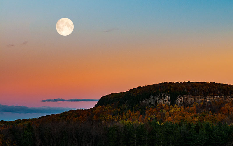
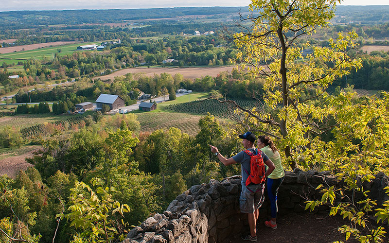
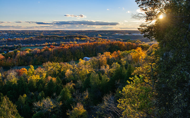
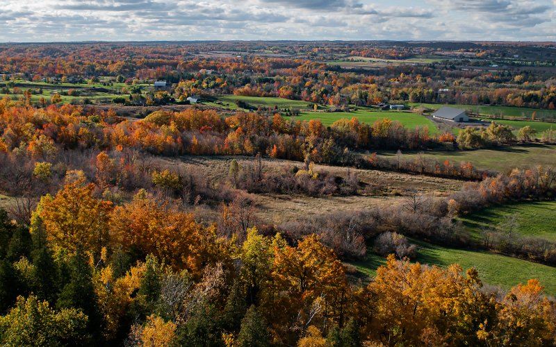
Rattlesnake Point is one of the most beautiful spots in Southern Ontario. Popular rock climbing spot, spreads over 264 hectares of protected land and features breathtaking views of the Niagara Escarpment.
The origin of the name Rattlesnake Point is mysterious; perhaps it is related to the Massassauga rattlesnakes that once lived in the area, or perhaps the name derives from the undulating edge of the Niagara Escarpment.
Trails: Hike some 12.7 km of colour-coded trails consisting of four loops, ranging from 1 to 7.2 km, with five beautiful lookouts. If you like camping the Rattlesnake Point campground features 18 group campsites.
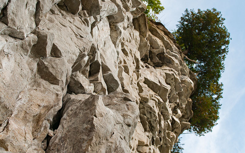
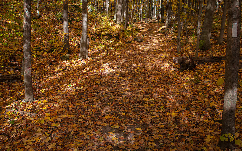
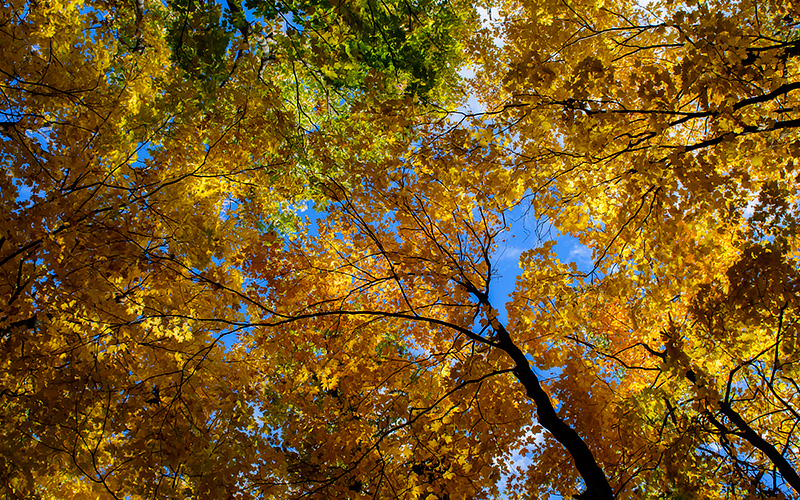
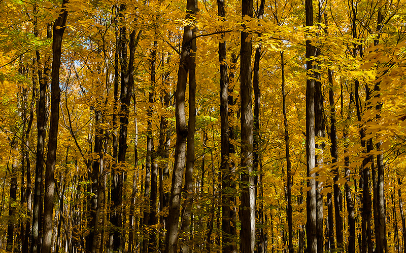
Rattlesnake Point is the best place in southern Ontario to see ancient cedars, because the base of the cliff is easily accessible, offering a good view of the cedars.
Age of oldest known trees: 600 years. The oldest tree at Rattlesnake Point germinated in the year 1411. Many trees on the cliffs are 300-500 years old.
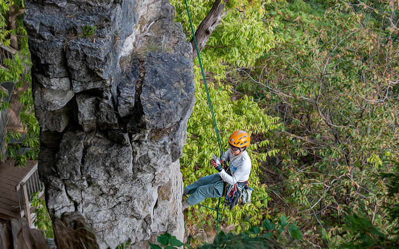
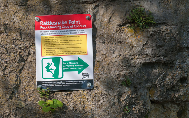
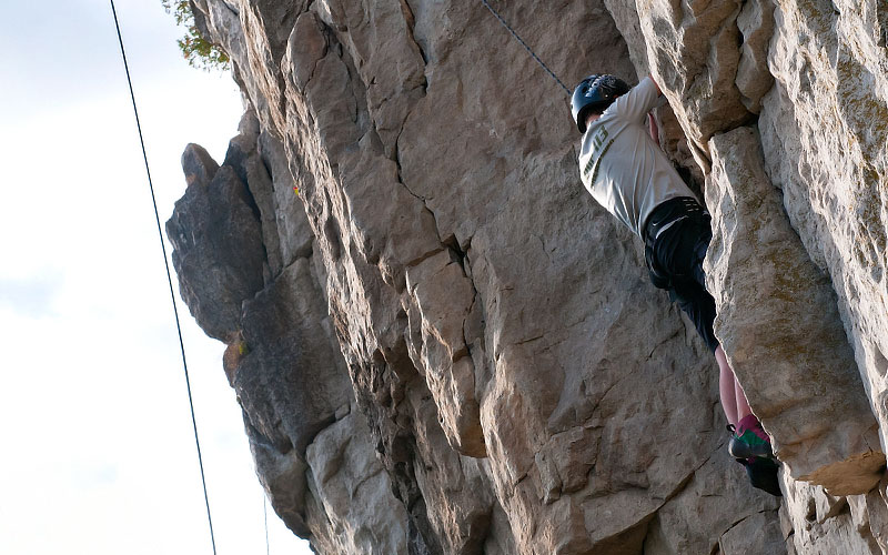
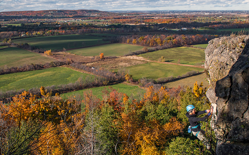
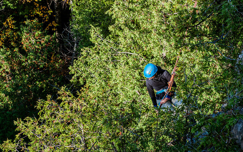
Rock climbing
Clean vertical rock face and a wide variety of climbing grades make Rattlesnake Point one of the most popular areas for rock climbing in Ontario. Rattlesnake Point has more than 40 recognized climbs that cover a wide range of difficulty. Climbs, from the highest cliffs to the west across to the east cliff, are marked with numbers at the base of the cliff.
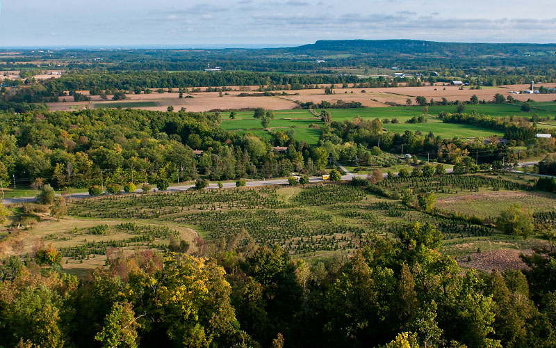
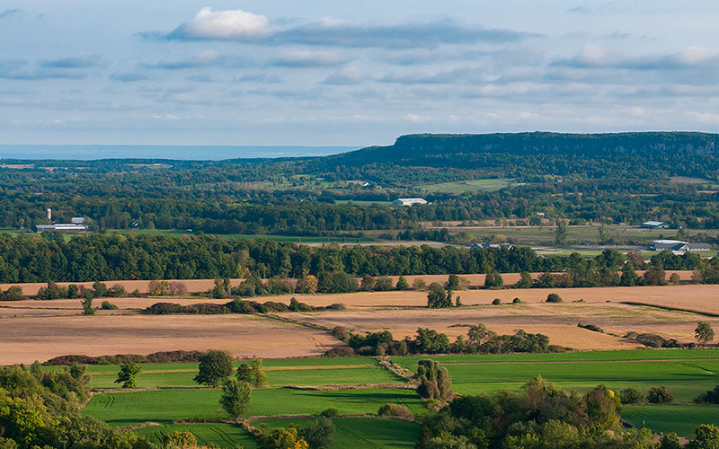
Limestone cliffs of Rattlesnake Point are part of Ontario´s Niagara Escarpment
This well-known landform winds 725 km from Queenston near Niagara Falls to the islands off Tobermory at the tip of the Bruce Peninsula.
The escarpment was formed over 400 million years ago when a vast tropical sea covered much of North America.
The erosive power of preglacial rivers and glacial meltwaters sculpted this geological masterpiece.
Rattlesnake Point is located on an isolated rock outlier separated from the escarpment and overlooking the Lowville Valley.
Download Rattlesnake Point Map Visit website